
Severe thunderstorms and excessive rainfall will remain likely tonight from parts of the mid Mississippi, Ohio, and Tennessee Valleys into the southern Plains before the severe weather threat shifts south on Thursday toward the Southern Plains and Southeast. Heavy mountain snow and and moderate lower elevation rain will gradually wane across the Northern Rockies. Read More >
Last Map Update: Thu, May. 9, 2024 at 2:09:19 am MDT

|
Text Product Selector (Selected product opens in current window)
|
|


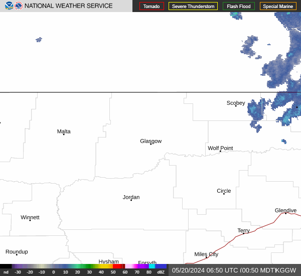
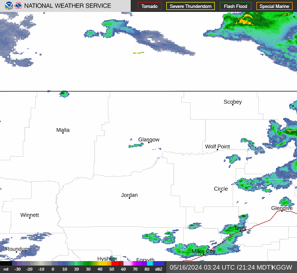 Glasgow Radar
 Satellite
 Current observations
 Webcams
 Forecast discussion
 Montana weather
 Fire weather
 Recreation forecasts
.png) Transportation forecast
Transportation forecast.png) Weather Prediction Center
Weather Prediction Center Storm Prediction Center
 Aviation weather
.png) Skywarn
Skywarn GHWO
GHWO Follow us on YouTube